Don’t put all your eggs in one basket
Why Verification is so Important in Marine Navigation
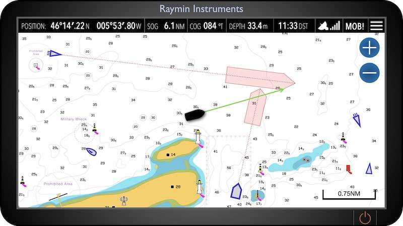
For recreational sailors, whether seasoned skippers or weekend adventurers, the thrill of exploring the open waters comes with the responsibility of navigating safely and efficiently. While modern technology, such as GPS and electronic chart plotters, has made marine navigation more accessible and convenient than ever, relying solely on these systems can lead to dangerous situations. Verification methods—cross-referencing multiple navigation tools—are essential for ensuring a safe and enjoyable experience on the water.
Accuracy: Avoiding Costly Mistakes
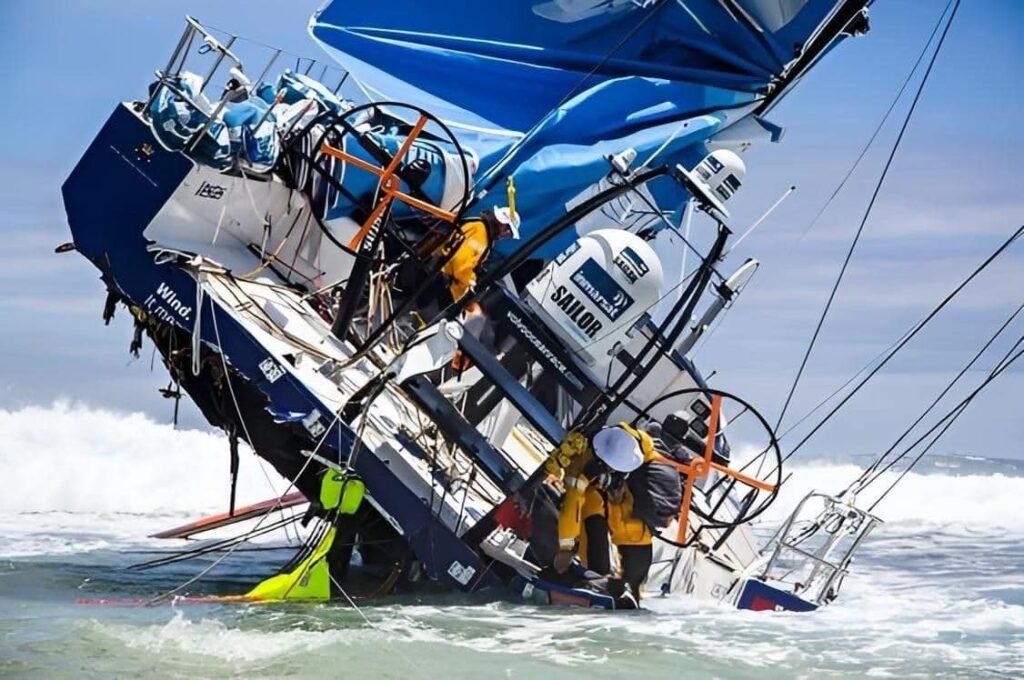
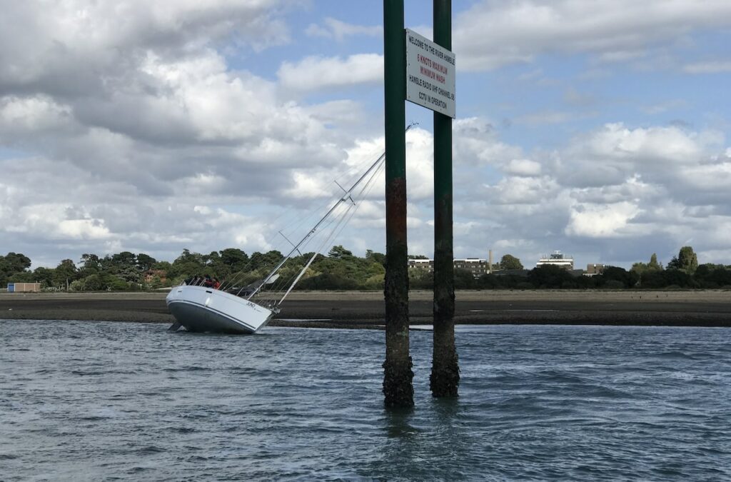
While GPS is a fantastic tool, it’s not foolproof. Atmospheric conditions, signal interference, or hardware malfunctions can lead to inaccurate positioning. For a recreational sailor, this could mean missing a harbour entrance, straying into restricted areas, or running aground in shallow waters. Verification methods, such as checking your position with visual landmarks, paper charts, or a depth sounder, can help confirm your location and course. Cross-referencing these sources ensures you’re precisely where you think you are and avoids any missteps that could lead to trouble.
Safety: Protecting Yourself and Your Crew
Safety is the top priority for any sailor, regardless of experience level. If your GPS fails or provides incorrect data, a backup method can prevent you from becoming lost or stranded in dangerous areas. Even in well-known waters, weather changes or sudden fog can limit visibility, making it difficult to rely solely on GPS. Traditional verification methods, such as visual navigation (using coastal landmarks), radar, or even manual compass bearings, can provide crucial backup data to guide you safely. For example, spotting a lighthouse or buoy can immediately confirm or correct your course when electronics fail or provide questionable information.
Preventing Over-Reliance on Technology
In today’s age of digital convenience, it’s easy to rely solely on electronic systems like GPS and chart plotters. However, over-reliance on these technologies can leave sailors vulnerable if these systems fail. Recreational sailors should develop navigational skills that don’t depend entirely on electronics. This includes learning to read paper charts, understanding dead reckoning (plotting your course based on speed and time), and mastering the use of a magnetic compass. Verification methods such as these act as backups when digital systems fail and help sailors become more self-sufficient on the water.
Navigating in Poor Weather Conditions
For recreational sailors, one of the most common challenges is navigating in bad weather, which can disrupt GPS signals and make visual navigation difficult. Storms, fog, and heavy rain can obscure landmarks, making verifying your location by sight alone challenging. In these conditions, having additional verification tools such as radar, depth sounders, or even AIS (Automatic Identification System) can help you navigate safely through low-visibility conditions. These tools allow you to “see” the surrounding area even when visual references are unavailable, adding an essential layer of safety.
Avoiding Shallow Waters and Obstacles
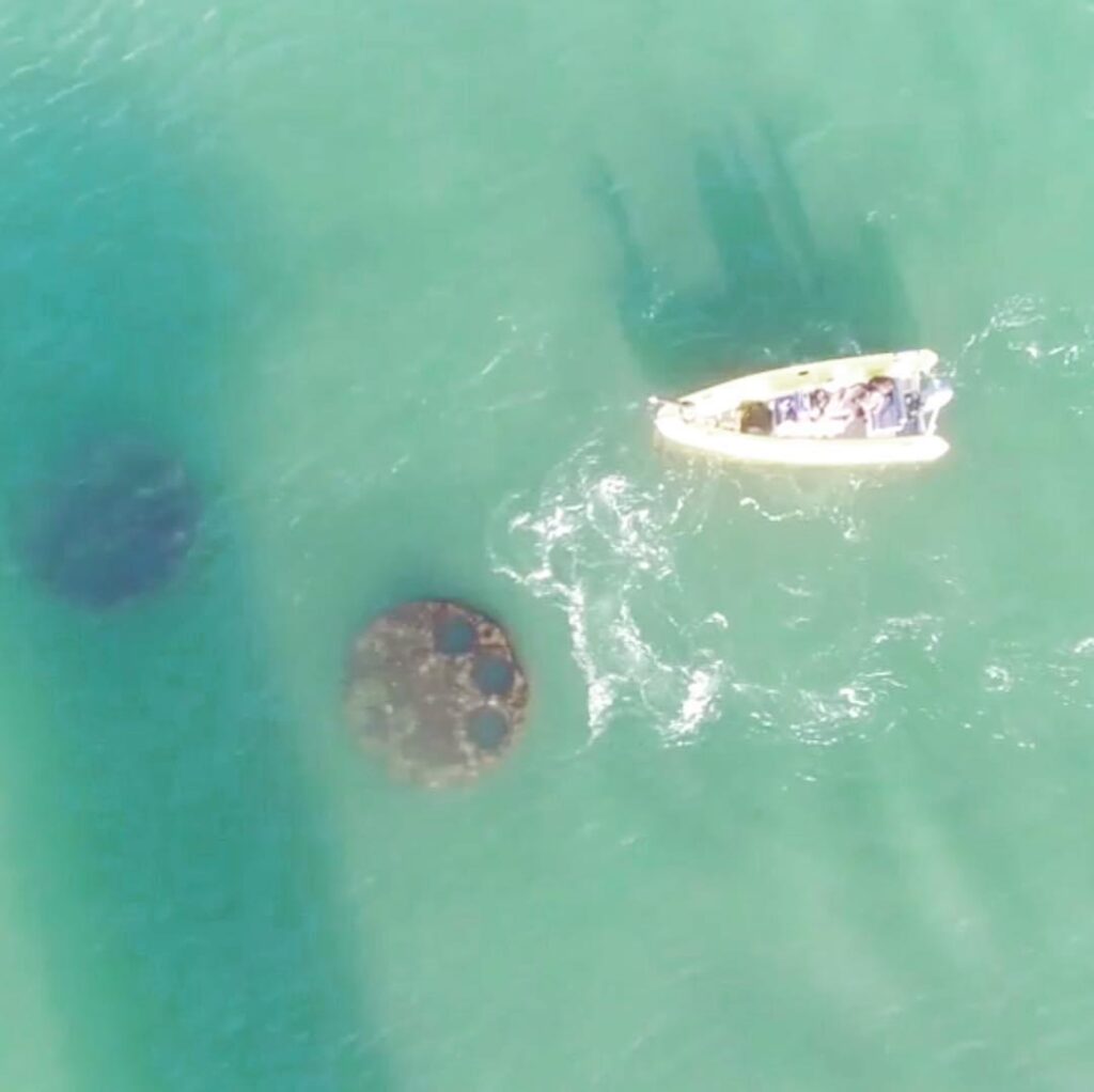
Running aground in shallow waters is a common hazard for recreational sailors, particularly in unfamiliar areas like coastal inlets, rivers, or lakes. Relying on GPS alone may not provide enough detail about the changing underwater landscape. Using a depth sounder alongside GPS offers a reliable verification method to ensure you’re not straying into areas where your boat could be damaged. Additionally, paper charts often contain vital information about local hazards, such as submerged rocks or sandbars, that electronic charts might not highlight in real-time.
Cross-Referencing to Avoid GPS Spoofing and Signal Loss
GPS signal spoofing or loss, though more commonly a concern for commercial vessels, can still affect recreational sailors, particularly in busy or heavily trafficked areas. When a GPS signal is compromised, your chart plotter might show that you’re on course when, in reality, you could be drifting dangerously off track. Verification methods such as cross-checking your position with visual markers, radar, or AIS data can alert you to potential discrepancies and keep you safely on course.
Preserving Seamanship and Traditional Skills
For many recreational sailors, part of the joy of sailing comes from mastering the timeless skills of seamanship and traditional navigation. While electronic systems are incredibly useful, relying too much on them can detract from the self-sufficient, hands-on nature of sailing. By practicing and using verification methods such as manual plotting, compass bearings, or celestial navigation, sailors not only safeguard themselves against technology failure but also preserve these valuable skills. Knowing how to navigate without electronics can instill greater confidence on the water and open up a deeper understanding of the environment around you.
Preparing for Emergency Situations
Knowing how to navigate using alternative methods becomes critical in emergency situations, such as a sudden loss of power or a failure of all electronic systems. Carrying and knowing how to use a paper chart, a magnetic compass, and a handheld GPS can make all the difference when your primary systems fail. Verification through these manual methods helps ensure that even if you lose power or suffer equipment failure, you can still safely navigate back to port or avoid dangerous areas.
Navigating in Remote Areas
If you’re venturing into more remote or less-travelled waters, where there might be fewer navigational aids, the importance of verification methods becomes even more pronounced. GPS signals may be weaker or less reliable in such areas, and there may be fewer buoys or lights to guide your way. In these situations, traditional navigation tools like a sextant for celestial navigation or simply using your depth sounder to confirm your location relative to the charted depths can provide essential backup information to verify your position.
Conclusion
For recreational sailors, using verification methods in marine navigation is not just a precaution but a vital practice. Whether you’re out for a casual day on the water or embarking on a longer voyage, the combination of modern technology and traditional navigation techniques ensures you have a reliable and safe way to reach your destination. By cross-referencing GPS data with visual landmarks, radar, paper charts, and other navigational tools, you can navigate confidently, knowing that no single point of failure will put you or your crew at risk. Ultimately, verification methods enhance safety and the pleasure of sailing, allowing sailors to explore the open water with peace of mind.


