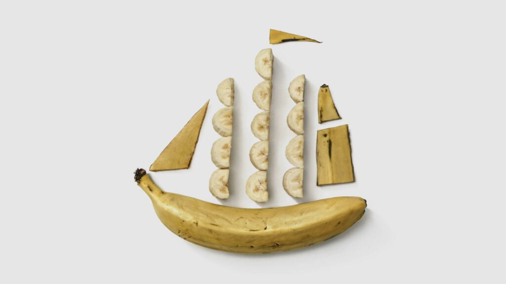
Paper charts are dead. Long live paper charts!
The Enduring Value of Paper Charts in the Digital Age
In today’s digital world, electronic nautical charts (ENCs) have become the norm for maritime navigation. With their real-time positioning, easy updates, and user-friendly interfaces, it’s easy to see why many mariners have shifted to digital solutions.
As a racing skipper, I’m a huge fan of the data electronics provide; everything from wind angles to velocity made good (VMG) helps make tactical race decisions. That said, to be efficient, the electronic data needs to be combined with experience; you can’t just sail by numbers.
Paper nautical charts still hold significant value and offer several advantages that make them indispensable, even in the age of technology. Used together with electronics, they can help us plan, sail, and perform better.
A Broad, Continuous Overview
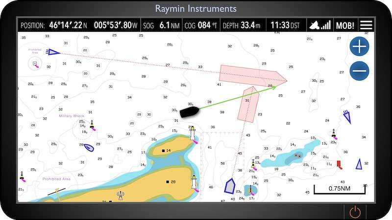
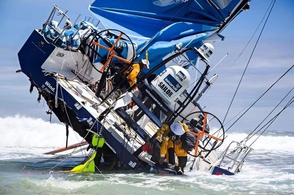
The biggest reason I’m a fan of paper charts is planning. Paper charts provide a large, continuous view of an area, offering navigators a comprehensive understanding of their surroundings. Unlike electronic charts, where you often need to zoom in and out to view different areas, paper charts allow for an uninterrupted perspective. This broad overview is particularly useful for planning longer routes and recognising how different voyage areas connect. The tangible nature of paper charts can also help avoid mistakes that might occur due to misinterpretation when zooming in and out of digital maps. The Volvo Ocean boat pictured hit a reef at nearly 20kts because the navigator didn’t know it was there. The passage plan was routed on a chartplotter, and without zooming in, the reef didn’t appear, leaving the navigator completely unaware of its existence.
Tactile Interaction and Hands-On Navigation
For me, this is less important. Once I’ve planned a passage on paper charts, I put the route into a chart plotter and use that for execution and monitoring. But there are some benefits to navigating with paper charts. It involves physically marking positions, plotting courses, and annotating. This tactile interaction can enhance a navigator’s situational awareness and understanding of the chart. By manually plotting their course, mariners are more engaged in navigation, which can be especially beneficial for learning and skill development. The hands-on experience reinforces traditional navigational skills that are often diminished when relying solely on digital systems. On extended passages, generally greater than 60 nautical miles, I still periodically mark a position on a paper chart. This mitigates the risks posed by power or GPS signal loss and allows a pickup point in the event this should happen.
Historical and Legal Significance
Beyond their practical uses, paper charts hold historical and legal value. They can serve as a legal record of a vessel’s route and the navigation decisions made along the way, which can be critical during post-incident investigations. Additionally, paper charts document changes in coastlines, ports, and other navigational features over time, offering a historical record that can be valuable for both researchers and mariners alike.
No Dependence on GPS
While electronic charts often rely on GPS for real-time positioning, paper charts require navigators to plot their positions manually. This encourages the development of traditional navigation skills, such as dead reckoning, and reduces overreliance on GPS, which can be vulnerable to jamming, signal loss, or inaccuracies. By using paper charts, mariners maintain a higher level of navigational proficiency and are better prepared for situations where GPS is unavailable or unreliable.
Visual Clarity and Reference
For many navigators, the visual clarity of paper charts is unmatched. The detailed topography, depth contours, and navigational symbols are often easier to interpret on paper than on a screen. Subtle features, such as varying depths or hidden hazards, are more discernible on a well-drafted paper chart, providing a more intuitive understanding of the maritime environment.
Reliability Without Power
One of the most compelling reasons to keep paper charts on board is their reliability. Unlike electronic systems, paper charts don’t require electricity or batteries. Paper charts remain fully functional in case of a power failure, electronic malfunction, or simple dead battery. This reliability is crucial during extended voyages or in emergency situations, ensuring that navigation can continue safely without interruption.
Updates & Changes
There’s a lot to be said about the benefits of the simple update process for electronic charts; of course, you need to have a valid subscription to an ENC provider; however, assuming you do, the updates are easy to download and install. However, whilst paper charts are only as up-to-date as the day they were printed, and updates are manual, you need to check against the notices to mariners and apply updates as necessary; the major benefit of going through this process is you know what’s changed. Electronic chart updates aren’t listed anyway. They may get applied automatically when connected to WiFi, but you have no visibility of what’s changed. Checking for and applying an update to a paper leaves you no doubt what has changed. There aren’t any surprises when you’re out on the water. And, there’s free! Once you have purchased a chart, you can apply updates forever, there’s no charge.
Conclusion
While electronic nautical charts offer numerous conveniences and have become an essential tool for modern mariners, the enduring value of paper nautical charts should not be underestimated. Their reliability, broad overview, tactile interaction, and freedom from digital errors make them a critical component of safe and effective navigation. By maintaining a balance between the use of paper and electronic charts, mariners can ensure they are well-prepared for any situation at sea, combining the best of both worlds in their navigational practices.