Skills Covered
This module discusses finding and interpreting tidal information, including sources from Nautical Almanacs to Mobile Apps. Once completed, you’ll be confident about how deep the water will be using traditional and electronic tools. Moreover, you’ll have the Tidal Heights Insignia to show for it!

Tidal Heights
- I know how to work out the depth, anywhere on a chart.
| For this module, you will need the following: |
|---|
|
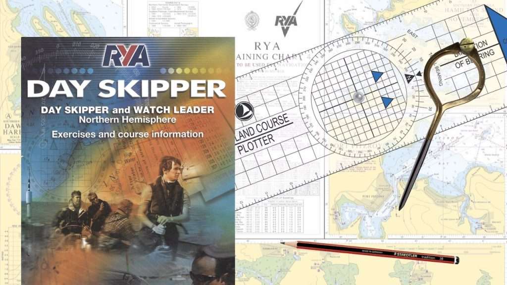
| The Day Skipper course pack includes the RYA Almanac and charts required to complete this module. Enrol for access and your course pack will be dispatched within 24 hours. |
| Everything needed to complete this module is included in your course pack. |
| Downloadable resources: |
|---|
| Many of our downloads are available FREE! You don't have to be enrolled in one of our courses; you can study with any sailing school and still get access! Sign up for immediate access. |
| Downloadable resources are to support learning, not a pre-requisite for the sessions. You only need to download or print something if it helps your understanding of a topic. |
| Module downloads: |
Calculating VariationHow to calculate variation using the information found on a Compass Rose of... Positioning WebAn example positioning web created for Beaufort Bay, a fictitious training... RYA Training Deviation CardThe deviation card found on the back page of the RYA Training Almanac. It is... Dilution of Precision ScaleTable of HDOP ranges and their associated meanings. When establishing the accuracy... Adjustments for VariationThis handy mnemonic helps us remember which way to apply adjustments for bearings.... |
Students enrolled on a course have direct access to a briefing room where they can get instructor support. If you are enrolled on a course, log in to access your briefing room.


