
| For this module, you will need the following: |
|---|
|
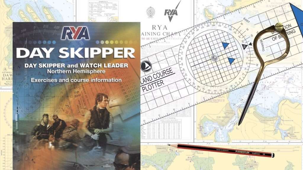
| The Day Skipper course pack includes the RYA Almanac and charts required to complete this module. Enrol now, and your course pack will be dispatched within 24 hours. |
| Everything needed to complete this module is included in your course pack. |
| Downloadable resources: |
|---|
| Many of our downloads are available FREE! You don't have to be enrolled in one of our courses; you can study with any sailing school and still get access! Sign up for immediate access. |
| Downloadable resources are to support learning, not a pre-requisite for the sessions. You only need to download or print something if it helps your understanding of a topic. |
| Module downloads: |
Notices to Mariners - RYA 3 & 4Artificial Notice to Mariners for chart corrections to RYA Training Charts... |
Students enrolled on a course have direct access to a briefing room where they can get instructor support. If you are enrolled on a course, log in to access your briefing room.
Module Content

Locked
Module Includes
- 5 Topics
- 14 Sessions
- 1 Exercise
Login
Accessing this module requires a login. Please enter your credentials below!