At the top of each topic, the tabs give you direct access to your briefing room, where you can get support from an instructor.
Take a tour: Taster topic
Each module contains topics covering specific skills or techniques. We know time is precious, so they are divided into sessions, most no more than 15 minutes.
Each topic typically includes an introduction, an instructor demonstration and a step-by-step guide, complete with instructor tips. It’s like having an instructor in the room with you!
If you need help at any stage, your briefing room is at the top of each topic, module, and classroom, where you can ask questions and get support.
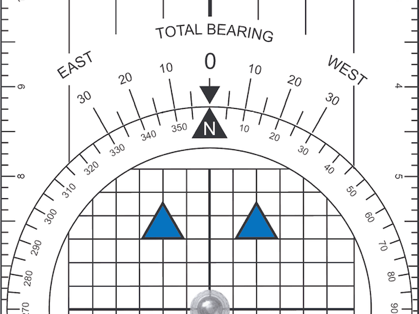
Chart Positions
Charts represent specific parts of the world, and we need to be able to reference any position on them. We do this using latitude & longitude, enabling us to pick out any location accurately. Learn how latitude and longitude work and how to use them to locate anywhere on earth.
Learn how latitude & longitude work, how to find any position on earth and how to use a Portland Course Plotter to mark and measure positions on a chart.
Take a tour: Try the different content types
Walk through this topic to experience the different content types. They are designed to ensure you complete each one feeling confident with your newly acquired skills and knowledge.
Students enrolled on a course have direct access to a briefing room where they can get instructor support. If you are enrolled on a course, log in to access your briefing room.
Please note:
This action will also remove this member from your connections and send a report to the site admin.
Please allow a few minutes for this process to complete.